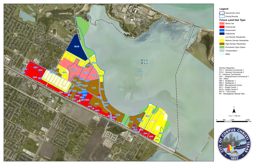
These Opportunity Zone maps are large high resolution images.
You can use your mouse or a hand held device to magnify selected areas.
The information on the right will assist users in identifying the classification and current zoning in the displayed Opportunity Zone.
The color blocks are Future land use types, and below them are zoning categories.
The full size maps can be downloaded from the links below.

OppZone_OsoBayType4 Download
For more extensive property and demographic information on Corpus Christi, Texas and the region, Click Here.